Blank maps of continents are a staple in geography classrooms, yet they often become sources of confusion when educators overlook subtle pitfalls. By recognizing and sidestepping the most frequent errors—mislabeling, scale distortion, and lack of contextual cues—teachers can turn a simple outline into a powerful learning catalyst.
What makes a blank continental map useful for instruction?
A blank map strips away political borders and detailed topography, leaving only the outlines of landmasses. This minimalist canvas encourages students to focus on spatial relationships, such as the relative positions of mountain ranges, rivers, and cultural zones. Because the map contains no pre‑filled labels, learners must actively engage in naming and locating features, which research shows improves retention compared to passive observation.
Which mistakes most often derail student learning?
Even experienced teachers can fall into patterns that diminish the map’s educational value. Below are the five errors that appear most regularly in classroom observations.
1. Assuming the map’s scale is “obvious”
Blank continental maps vary widely in scale. A teacher who asks students to estimate the distance between Nairobi and Cairo without clarifying the map’s scale risks reinforcing misconceptions about continent size. The solution: always display a clear scale bar or provide a reference distance (e.g., “the Atlantic Ocean spans roughly 5 cm on this sheet”).
2. Ignoring projection distortions
Most blank maps are drawn in a simple cylindrical projection, which stretches regions near the poles. When students compare a blank map to a globe, they may conclude that Africa is smaller than it truly is. Counter this by briefly explaining the projection used and, if possible, offering a supplemental globe or a different projection for contrast.
3. Over‑labeling the outline
Filling the map with every country name defeats the purpose of a blank canvas. Students lose the chance to practice recall, and the visual clutter can obscure geographic patterns. Instead, label only a handful of anchor points—such as major capital cities or key physical features—and let the rest be discovered through guided inquiry.
4. Skipping cultural context
Continents are more than land shapes; they host diverse languages, climates, and histories. A map that shows only outlines may unintentionally convey a static, homogeneous view. Integrate short anecdotes—like the influence of the Sahara on Sahelian trade routes—to anchor the geography in lived experience.
5. Treating the map as a one‑time prop
Many teachers display a blank map, use it for a single activity, then store it away. Repetition reinforces spatial memory, so revisiting the same map across weeks—first for labeling, later for plotting migration patterns—deepens comprehension.
How can educators practically avoid these pitfalls?
- Introduce the map’s parameters first. Before any activity, point out the scale bar, projection type, and any intentional omissions.
- Use progressive labeling. Start with continents, then add major physical features, followed by political boundaries in later sessions.
- Pair the blank map with complementary tools. A small globe, a digital map app, or a satellite image can illustrate distortion and scale issues.
- Embed cultural snapshots. A 2‑minute story about the Amazon basin’s biodiversity or the tectonic activity along the Ring of Fire provides a narrative hook.
- Schedule iterative activities. Re‑engage the same map weekly—first for labeling, then for drawing climate zones, and later for mapping historical trade routes.
What are the broader implications for student outcomes?
When educators systematically eliminate these common mistakes, students develop a more accurate mental model of global geography. Studies in spatial cognition show that repeated, active interaction with unlabeled maps improves the ability to estimate distances and recognize regional patterns—skills that translate into stronger performance on standardized geography assessments and more informed citizenship.
In short, a blank map of continents is a versatile pedagogical instrument, but only if its inherent limitations are acknowledged and its potential is deliberately harnessed. By asking the right questions and providing the necessary scaffolding, teachers can ensure that the map remains a catalyst for discovery rather than a source of confusion.
Hypothyroidism Resource Center

Hypothyroidism Resource Center
Foods To Avoid While Taking Methotrexate Tablets – IRCX

Foods To Avoid While Taking Methotrexate Tablets – IRCX
Avoid In English: Usage, Structure & Examples
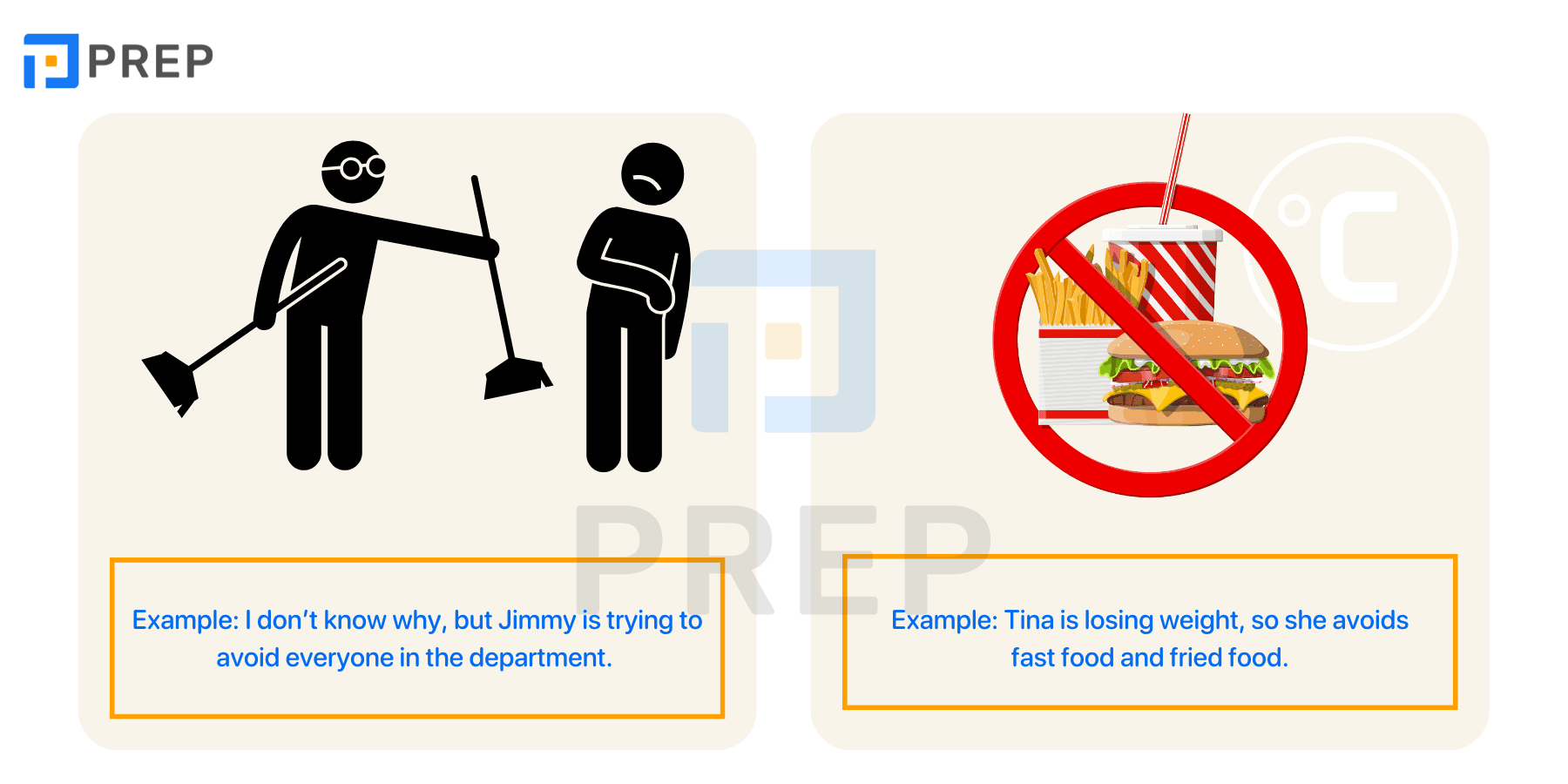
Avoid in English: Usage, Structure & Examples
Top 7 Mistakes To Avoid When Filing A Travel Insurance Claim
Top 7 Mistakes to Avoid When Filing a Travel Insurance Claim