The Northeast’s intricate coastline, dense road network, and overlapping municipal borders make accurate blank maps essential for planners, educators, and hobbyists alike. Whether you need a state‑level template for a school project or a county‑scale base for a development study, reliable sources are now consolidated in a handful of reputable outlets.
Why Precise Blank Maps Matter in the Northeast
The region’s mix of urban corridors, historic towns, and protected natural areas means that generic maps often omit critical details. A high‑quality blank map preserves the underlying grid while allowing you to add data layers such as zoning, transportation routes, or demographic statistics without visual clutter. This flexibility shortens the turnaround time for reports, lesson plans, and community outreach materials.
Where to Locate Reliable Blank Maps
Government and State Agencies
- U.S. Geological Survey (USGS) – Offers 1:24,000 topographic quadrangles that can be stripped of labels for a clean canvas.
- State GIS Offices – New York, Massachusetts, and Pennsylvania publish downloadable shapefiles and PDF basemaps that are public domain.
- Federal Emergency Management Agency (FEMA) – Provides flood‑plain blank maps useful for risk assessments across the Atlantic seaboard.

University Geography Departments and Libraries
Many Northeastern universities maintain digital map repositories accessible to the public. The Harvard Map Collection, for instance, releases high‑resolution scans of historic blank atlases that can be overlaid with modern data.
Commercial Map Publishers and Online Marketplaces
Specialty vendors such as Map Makers Inc. and Cartography Co. sell printable blank maps in PDF or SVG formats. These products often include vector outlines of state borders, major rivers, and interstate highways, ready for customization in design software.
Open‑Source GIS Communities
- OpenStreetMap (OSM) – The raw OSM data can be exported as a blank layer using tools like QGIS or Overpass Turbo.
- Natural Earth – Supplies scalable vector blanks for the entire United States, with separate files for regions like New England.
- GIS Stack Exchange – Community members frequently share ready‑made blank templates for specific counties.

How to Choose the Right Map for Your Project
Assess the intended scale first. A city‑planning initiative in Boston will need a 1:10,000 parcel map, while a classroom activity covering the six New England states can work with a 1:250,000 blank outline. Next, verify the licensing: government sources are typically public domain, but commercial PDFs may require a purchase or attribution.
Consider file format compatibility. Vector formats (SVG, EPS) allow infinite scaling and easy editing in Illustrator or Inkscape, whereas raster PDFs are quicker to print but lose resolution when enlarged. Finally, check for built‑in reference grids—latitude/longitude lines or UTM zones—so you can align additional data without manual georeferencing.
Recommended Sources for Immediate Use
- USGS TopoView – Download blank quadrangles for any Northeast county; files arrive as 300 dpi PDFs ready for annotation.
- Natural Earth “Blank” Package – Free vector set covering all states; import into GIS software with a single click.
- Harvard Map Collection Digital Archive – Access historic blank maps that can be layered with contemporary data for comparative studies.
- Map Makers Inc. “Blank Northeast” Bundle – Affordable commercial option providing high‑resolution SVGs for each state and major watershed.
By matching the map’s scale, licensing, and format to your specific workflow, you can avoid the common pitfall of spending hours cleaning up unsuitable basemaps. The resources above are vetted for accuracy and accessibility, ensuring that anyone from a middle‑school teacher to a regional planner can obtain a high‑quality blank map of the Northeast USA without unnecessary delays.
Search & Find Activity Board By Skillmatics
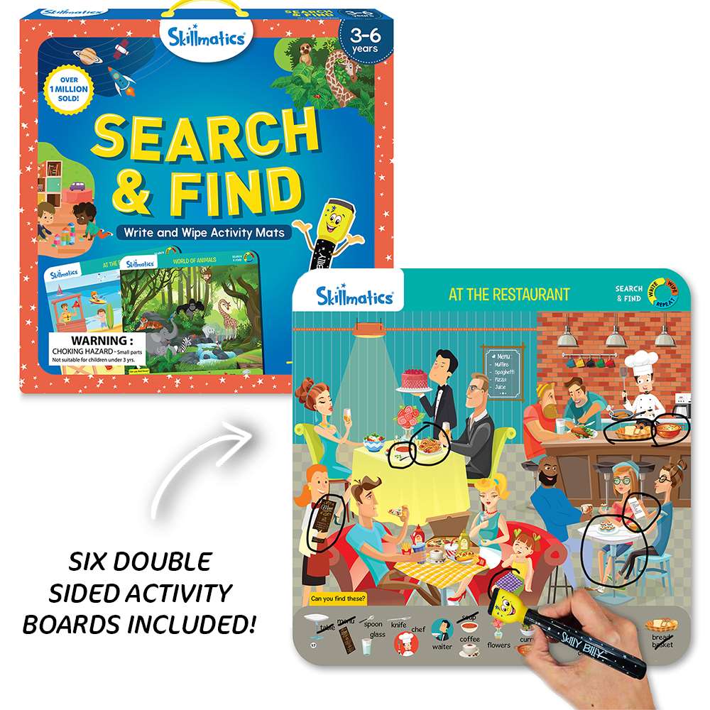
Search & Find Activity Board By Skillmatics
Funstuff: Hidden Picture | Find Hidden Object Worksheet

Funstuff: Hidden Picture | Find hidden object worksheet
Find

Find